favorite
favorite
hide
unhide
flag

Posted

print

1938 Plat Book of Syracuse Oversized Atlas Street Maps - $225 (Fayetteville)

1938 Plat Book of Syracuse Oversized Atlas Street Maps 1 thumbnail1938 Plat Book of Syracuse Oversized Atlas Street Maps 2 thumbnail1938 Plat Book of Syracuse Oversized Atlas Street Maps 3 thumbnail1938 Plat Book of Syracuse Oversized Atlas Street Maps 4 thumbnail1938 Plat Book of Syracuse Oversized Atlas Street Maps 5 thumbnail
203 South Manlius St. near the corner of Salt Springs St

google map

condition: good
size / dimensions: 24"h 18"w 3"d

more ads by this seller

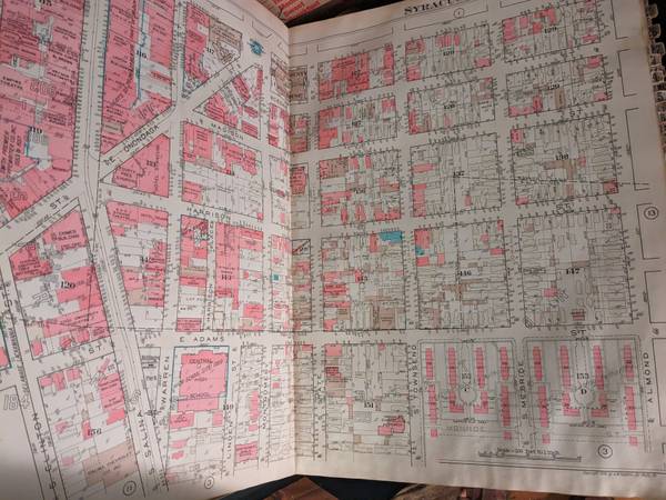
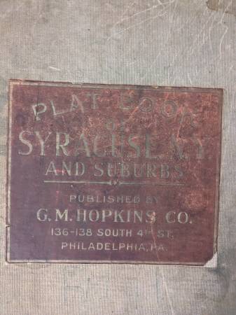
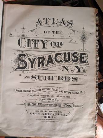
A large street atlas of plat maps of the city of Syracuse published by GM Hopkins, Philadelphia in 1938.
This hardcover book is filled with interesting color lithograph plates of the entire city.
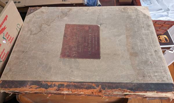
The spine has wear but is intact and the book is complete with the index number tabs. All of the pages are in excellent condition with no tears or stains.
A plat map contains numbers and symbols to demarcate property lines, utilities, trees and geography among other things.
It measures two feet high by 18" wide.
Call 315-637-Seventeen Fortynine

post id: 7877369225

posted:

updated:

best of [?]

loading
reading
writing
saving
searching